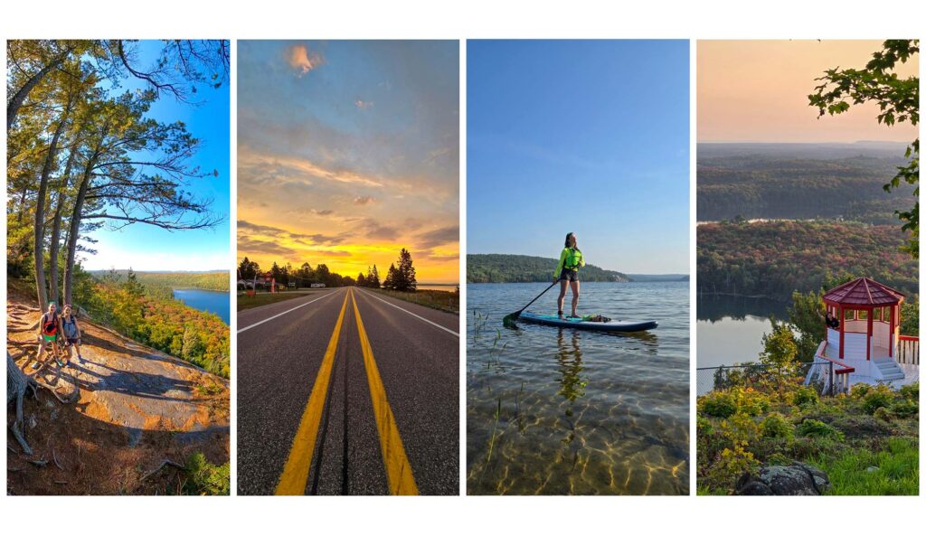
Check out these hikes on your next trip to the region.
During Spring, Summer or Fall, these 5 incredible hikes are a great way to explore the beauty of Algoma. Some lead to waterfalls, some lead to breathtaking views of Lake Superior, and some lead to ancient sites.
1. Potholes Provincial Park
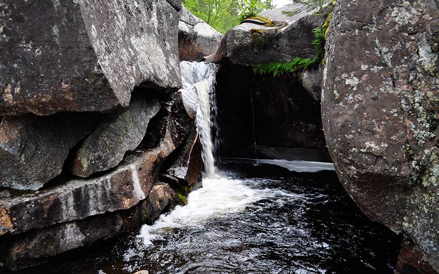
A short interpretive trail winds through a garden-like setting in the beautiful Boreal Forest at Potholes Provincial Park. Distinctive “potholes” in the bedrock that were naturally formed during the times of the glaciers over 10,000 years ago will have you realize that this name fits the phenomenon. Water still flows through these potholes, and this hike is SO worth it!
Distance: 350-metre trail
Facilities: parking and privy toilets
2. The Lookout Trail, Pancake Bay Provincial Park
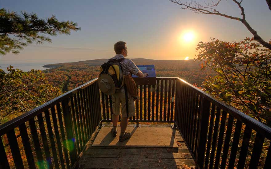
Forever etched into the memories of those who are old enough to remember is the haunting song of the sinking of the Edmund Fitzgerald by Gordon Lightfoot. In Pancake Bay Provincial Park, there is a hiking trail overlooking Lake Superior where you can look towards Whitefish Bay, where the Edmund Fitzgerald succumbed to the Gales of November in 1975. The two lookout platforms offer awesome views.
Distance: 7 km return (2 to 3 hours) to the lookout. The trail is moderate.
Facilities: parking, privy toilets
3. Chippewa Falls, Trans-Canada Hwy 17
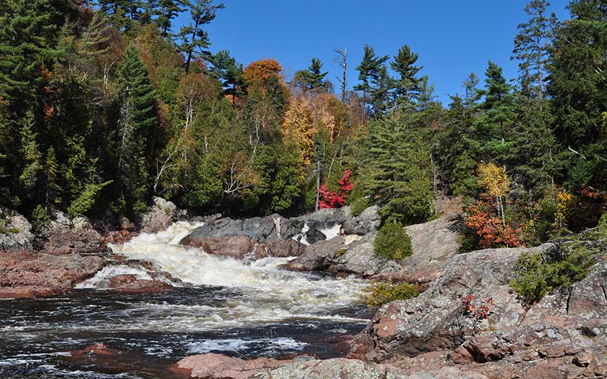
This spot marks the halfway point of the Trans-Canada Highway. The falls can be viewed as you drive along Highway 17 and take the time to stop at the rest area. A short hike will get you closer, but you have to navigate around some roots and rocks. Proceed with caution. The best views are from the bridge located alongside the highway to capture a full shot of the waterfalls. You may see artists or photographers capturing this pretty waterfall.
Viewing Bridge: walk from the parking lot to the bridge beside Trans-Canada Highway 17
Facilities: parking and privy toilets
4. Aubrey Falls Provincial Park
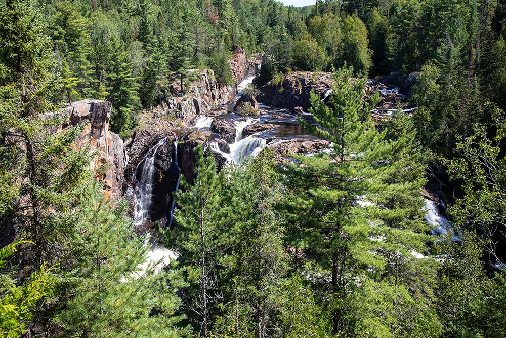
There is a bit of a view of the lower portion of these waterfalls at the footbridge at Aubrey Falls Provincial Park, but keep going. Over the bridge and up to the viewing area, there are even picnic tables. Here, you will see the best views of the entire waterfall. Follow the marked canoe route portage trails uphill past this viewing area to get to Aubrey Lake, which is above the dam area. Interesting point, this dam slows down the water and sometimes even stops completely at night, or during the spring and fall.
Distance: The round trip is 2 km. Difficulty is rated at moderate.
Facilities: parking and privy toilets. This is a non-operating park, which means it does not have operating dates.
5. Orphan Lake, Lake Superior Provincial Park
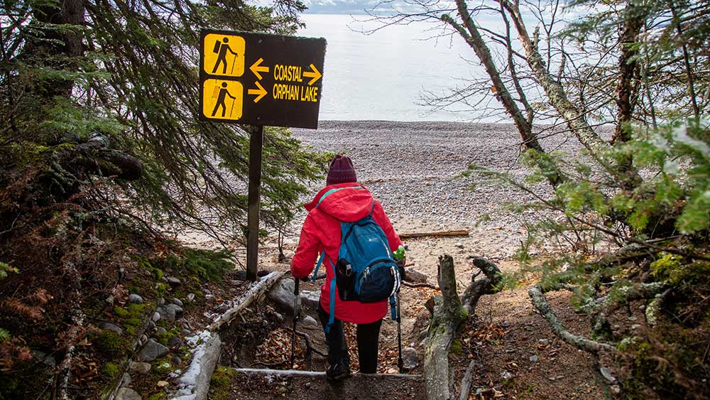
This is a well-known trail in the park and is much loved for its incredible diversity of trails and views. The highest peak offers panoramic views of Orphan Lake, Pebble Beach and Lake Superior for waterfront views. Hikers can follow the Big Lake’s Shoreline to the Baldhead River mouth to see the waterfall and proceed to the trailhead. This hike is considered moderate and may take a little longer if you stop to take photos along the way.
Distance: 8 km loop, 2 to 4 hours
Facilities: parking and privy toilets; you will need a parking permit
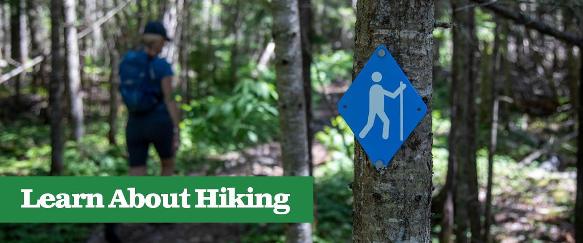
To learn more about places to hike in the Algoma region, visit the backpack & hiking page.
Tags
About the Author

As a member of the Algoma Country Travel staff, I’m lucky enough to turn my passion for our stunning backyard into stories for travelers like you. Whether you’re looking for rugged outdoor adventure, scenic drives, or cozy local stops, I hope my blogs help you discover why this incredible region is so special—and entice you to come experience it for yourself