5 Day Hikes to Enjoy the Wilderness
Hiking can mean a leisurely stroll to boost the heart rate or clambering up precipitous ridges for a full-on workout. It can be a solitary excursion or a social hike with friends and family. Either way, it’s an enjoyable way to get the blood flowing, but in Algoma Country, hiking can also include spectacular lookouts, intriguing trails, as well as the opportunity to learn through educational signage and guided day hikes. Here’s a look at a handful of hikes that make great day trips. Their foundation may be the rolling four billion-year-old Canadian Shield, but the trails never get old.
Nokomis Trail
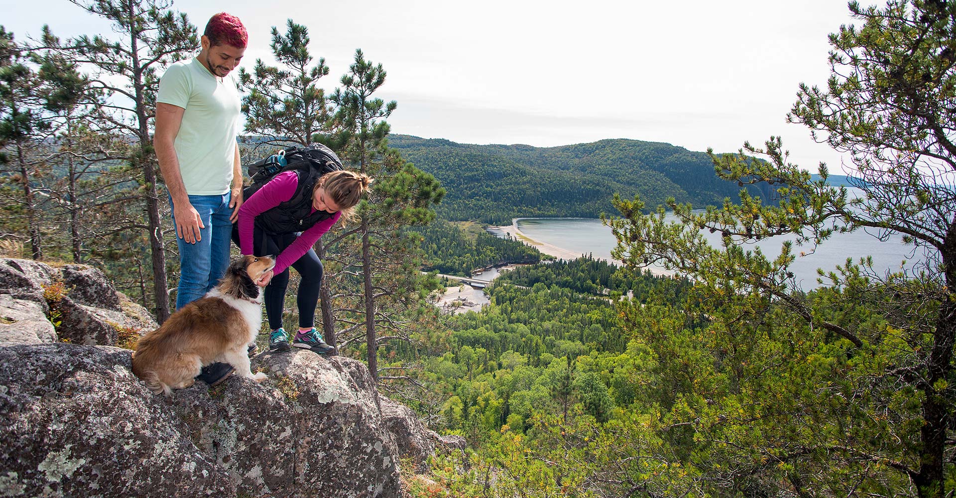
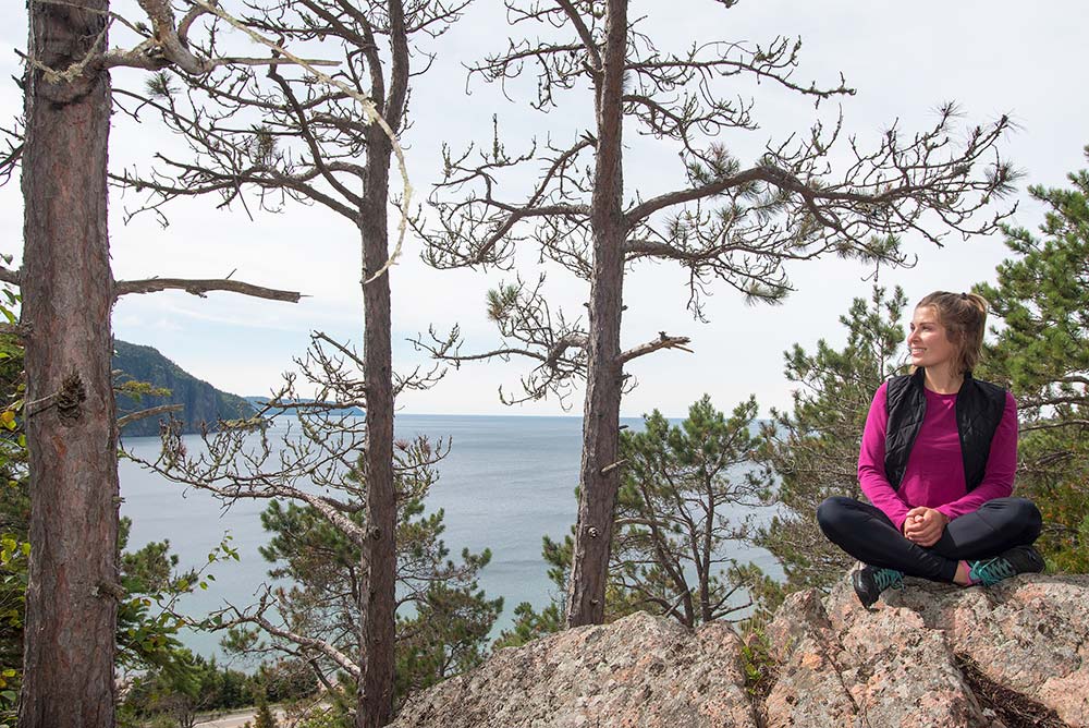
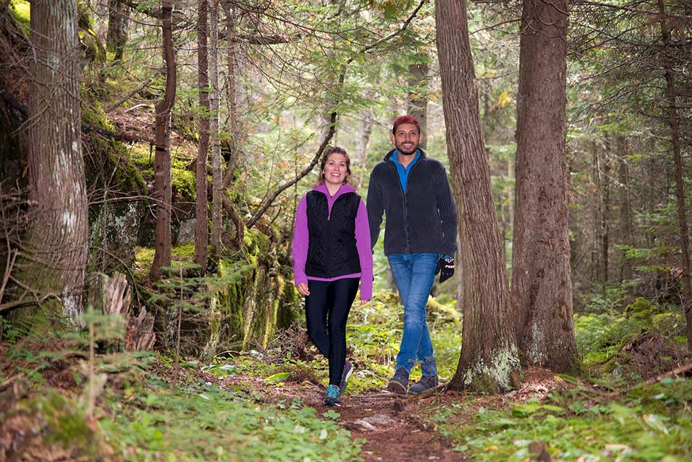
The Nokomis Trail is a five-kilometre loop in Lake Superior Provincial Park follows the Old Woman River through a lichen-shrouded boreal forest before rising above Lake Superior to a series of lookouts over Old Woman Bay. It’s a family favourite, so when my eldest daughter Islay’s friend Cesar visited from Mexico City one summer, we soon found ourselves walking ancient cobble beaches before climbing to pine-shaded lookouts over the coast of Lake Superior. An undulating forested landscape continued for as far as the eye could see. For Cesar, it was a far cry from the populated streets of Mexico City.
Pinguisibi
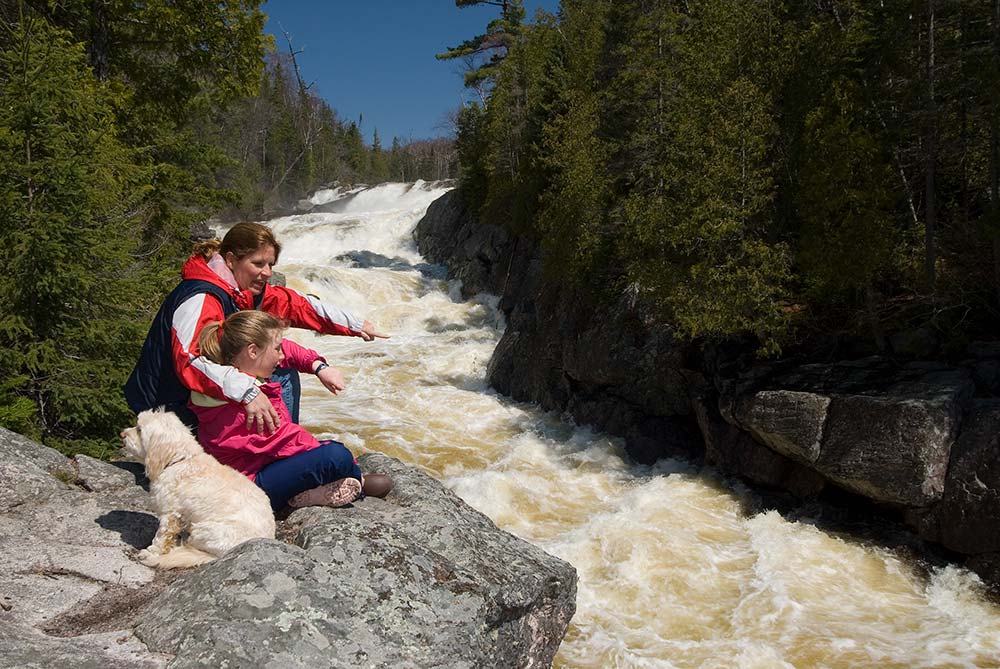
Like most tributaries of Lake Superior, the Sand River is in full flow in early spring but recedes into a relatively small river through summer. Pinguisibi is Ojibwe for “river of fine white sand” and when our daughters were younger, we would choose a warm spring day to enjoy the beach, then cross Highway 17 to the trailhead to hike the six-kilometre return linear trail.
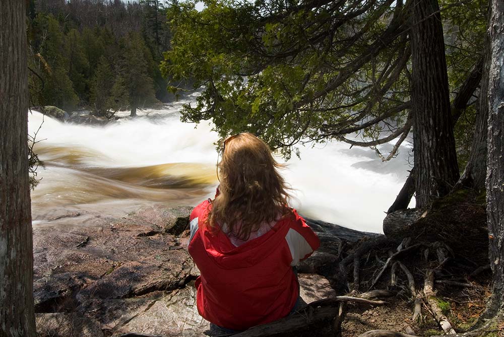
It’s a wonderland of beauty for young and old, with sculpted cedars clinging to the riverbank and pools of swirling foam occupying the periphery of dark pools. But it’s the falls that are most dramatic. Volumes of ice water crash over jagged drops before being channelled through canyons of granite. There are wet and slippery sections and we cautioned the girls to be careful; it would be a rough and cold ride down to Lake Superior.
Rock Candy Mountain
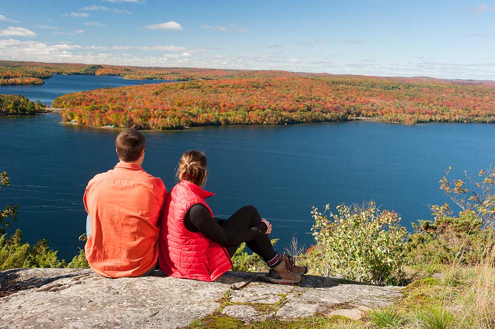
My memories of the 1.5-kilometre climb of Rock Candy Mountain will always revolve around a fall photoshoot. We took the first right, past the Tunnel Lake Trading Post, parked in a clearing and looked for a trail sign. I’d recruited Tom and Tracey McClelland and their daughter and son-in-law, Breanna and Shawn. None of us had been on the trail but expectations were high because we all knew we’d be hiking up along the top of the cliff to face the towers over Cummings Lake, part of the dramatic scenery along Highway 129 north of Thessalon.
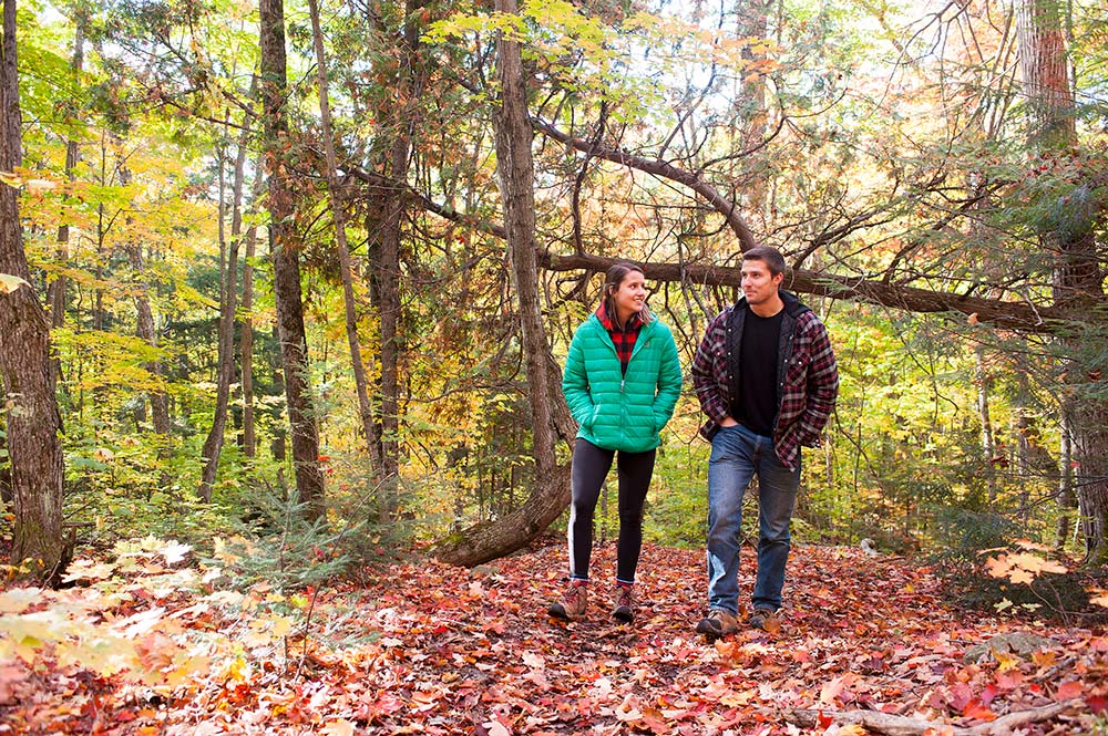
With bright sun and fall colours at their peak, we emerged onto a series of pine-scented, rocky lookouts. We were not disappointed: an expansive view of the brilliantly coloured forests surrounding Cummings, Tunnel and Axe Lakes, disappeared into the horizon. The perfect backdrop for a photoshoot.
Pancake Bay Lookout Trail
My dad and I hoped the rain would stop by the time we reached the trailhead of the Lookout Trail at Pancake Bay Provincial Park, about an hour north of Sault Ste. Marie, but it didn’t. Dad elected to wait it out in the truck but I was determined to hike the 3.5 kilometres to the lookout and set out along a wide, well-travelled trail through a forest of mature yellow birch and sugar maple.
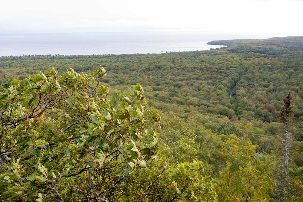
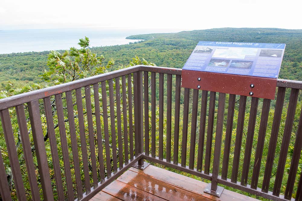
After some moderate climbs and a steep series of wood and metal staircases, I stepped onto a lookout platform high above Lake Superior’s Pancake Bay. Still being assaulted by strong winds and slanting rain, interpretive signage told me I should be able to see Whitefish Point across the lake, but in the harsh conditions, I could barely see the shoreline of Pancake Bay. A quick break in the rain allows a few shots of the windswept wilderness below before I turned back to reunite with my dad who was walking the lower reaches of the trail in subduing rain.
Sandy Beach Guided Hike
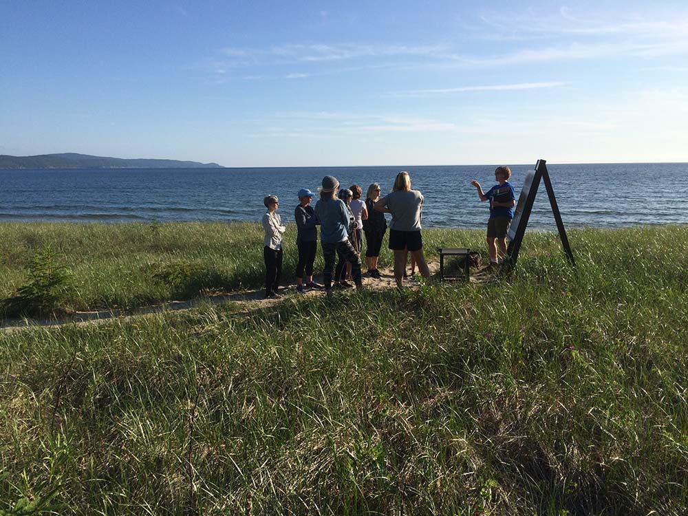
Anyone who’s spent time on Sandy Beach near Wawa will understand why the Group of Seven’s A.Y. Jackson chose to stay in a small cabin and paint its beaches, headlands and waterfalls through the summers of 1955 to 1966. Local historian, Johanna Rowe, has an intimate knowledge of Jackson’s time there and offers a 90-minute guided hike along rock and sand. At least 15 painting sites have been identified and more sites are expected to be located. A hike along Lake Superior’s Sandy Beach is never a bad idea but Rowe’s pairing of past and present provides the historic icing on the cake.
Related Posts

Hikes on the Voyager Trail
Hiking trails are plentiful in Algoma. Trails may be in a provincial park,...
Read More
River Paddling Adventures
With direct access to Lake Superior, Lake Huron, and some of the most...
Read More
A 5 Day Fall Road Trip
Fall is the perfect time to explore Algoma Country, located from the North...
Read More