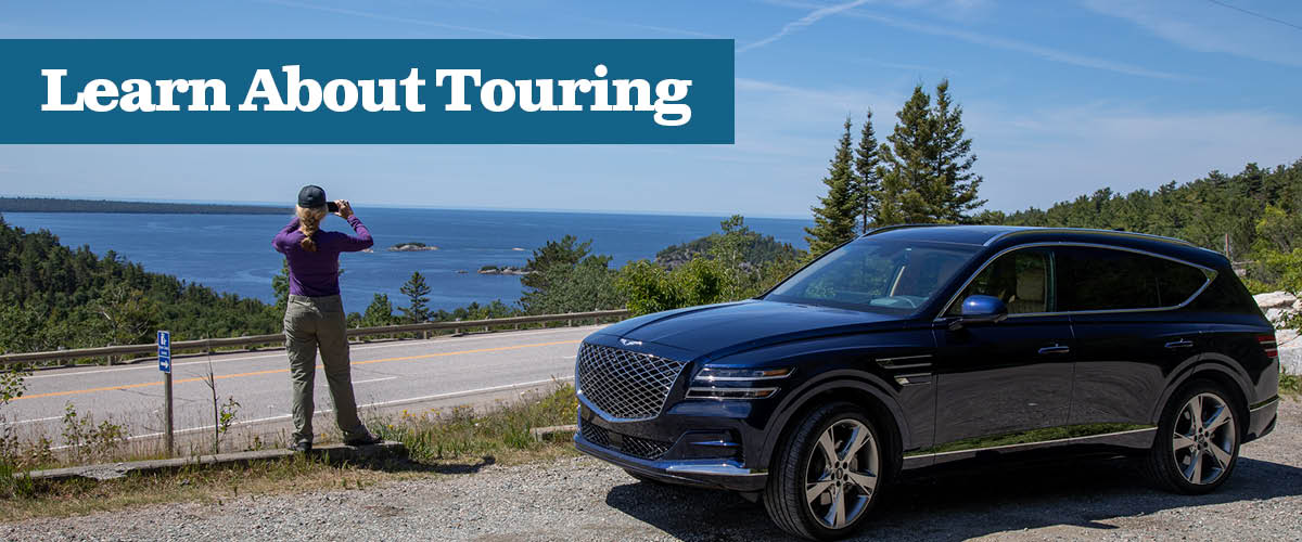
Fall Tours in Ontario's Algoma Country
Trivia – Ontario has around 120,000 km of paved roads as well as 70,000 unpaved roads. Not many of us venture off the beaten path to explore the gems tucked from the tourist guides but if you are adventurous then a drive up Highway 129 and maybe a detour along Highway 554 and 546 is for you, especially during the fall.
Routes to Take to Find Untouched Beauty
Heading out of Thessalon towards Chapleau, the road weaves its way through the northern landscape. This is an isolated road built in the late 1940s, with minimal services. I am on the way to Aubrey Falls, a spectacular cataract that drops over a series of ledges on the Mississagi River.
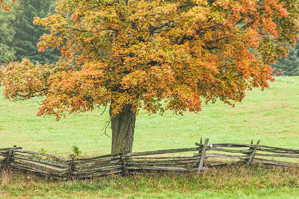
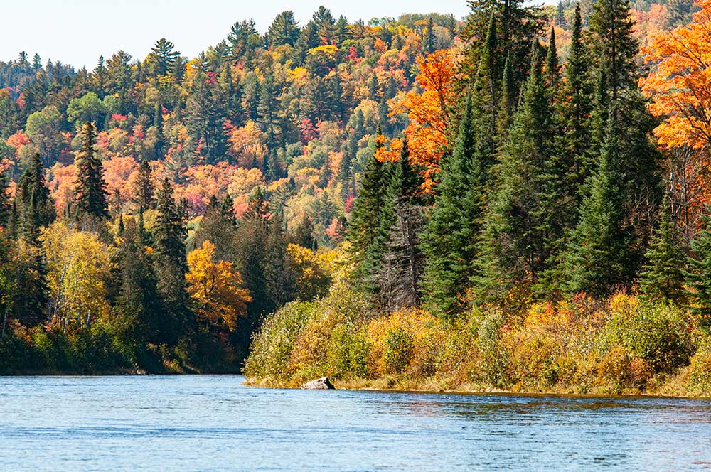
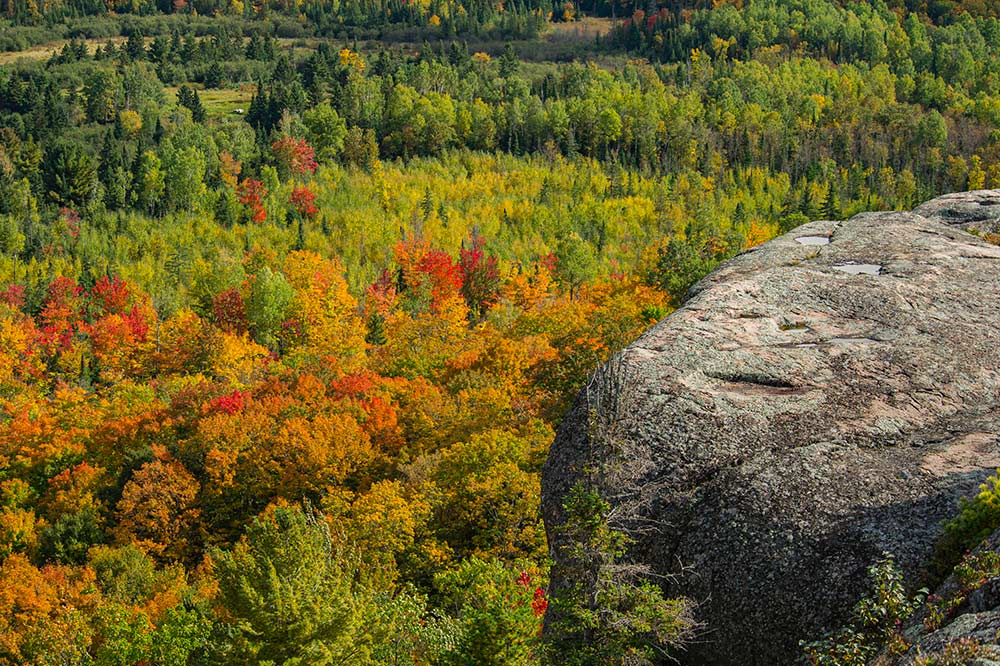
Take the time to pull over on the way to the falls and take in the moving waters of the Mississagi River. The fall colours here are a painter’s palette, just waiting for the artist to interpret.
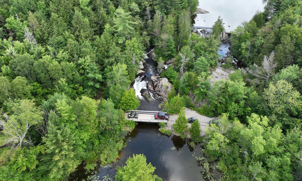
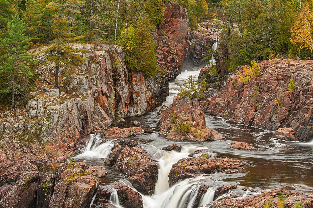
Discovering the Majestic Aubrey Falls
Aubrey Falls is one of those hidden landscapes that not many will take the drive to get to. Few have seen it except through publications, but for us who have stood in front of those lichen-covered rocks and their jack pine-covered cliffs, it is a place that embraces you. Being a canoeist, my mind wonders how many have portaged these falls over time. The Anishinaabe people have used the river for centuries. The hike into the falls is about 3/4 km, an easy walk along an established trail lined with poplars. The bridge over the gorge allows for a great view of the last drop to the river, but a panoramic view of the falls continues over the bridge. Follow the trail to an established lookout. Here, one has many angles to capture the cascading river. One small caveat: the river’s flow is controlled by the hydroelectric dam at the head of the falls, and there are established hours during which there is water in the river. The hours are 8:30 am to 5 pm in the summer, with shorter operating times in the fall months.
History, Wildlife, and Unseen Vistas
In 1912, a hundred years and a change ago, the legendary artist Tom Thomson and his companion William Broadhead paddled through this area. A two-month canoe trip that started in Bicotasing, near Sudbury and ended at the North Channel of Lake Huron. This was a time before Thomson became a legendary artist. He was a 35-year-old semi-woodsman just learning how to paint, and from all accounts, how to paddle. Most do not know, but Thomson had taken up photography. During this epic trip, he and Broadhead dumped a couple of times, losing most of his exposed film along with sketches they had made. Another footnote to this trip: Thomson met Archie Belaney, aka Grey Owl, at Biscotasing. Both at the time were just ordinary guys, long before fame caught up with them.
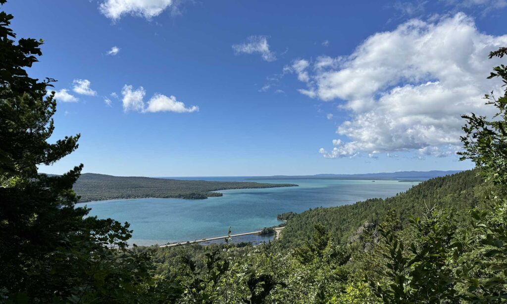
Another location to explore is along 554, which intersects 129 about 30 km north of Thessalon. It heads towards 546, another of the 500 series of highways. The Little White River crosses the highway about 15 km from 129, a section of the Little White River Provincial Park. The park and river start north of Elliot Lake. It is remote and is listed as non-operating. The river stretches in a southwestern direction for 100 km, where it meets at the confluence of the Mississagi River, north of Iron Bridge. Take the time to drive along 546; the highway follows the river, which offers fantastic views of this slice of Northern Ontario. The best place to access is to drive out of Elliot Lake, follow Hwy 639 to 546, hang a left, and take your time driving this section. This is another of these remote roads with minimal services, but so much to see. A fall drive would be highly recommended with the autumn colours decorating the land. Another photo op along 554; keep an eye out for elk. They were reintroduced into the area in the 1990s, which can be seen in the open fields foraging for grasses.
Final Tips for Your Algoma Adventure
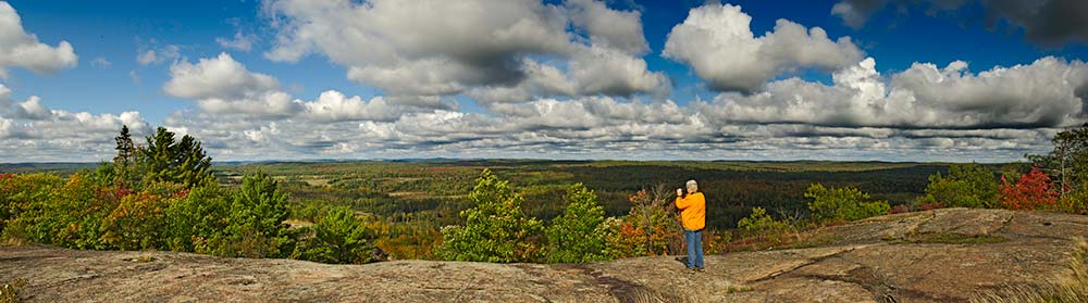
Ontario is huge, with 70 percent north of Sudbury. You can put four United Kingdoms (UK) into this province, and 90 percent of the population is south of Sudbury, which leaves a lot of unpopulated open spaces in Algoma to explore. There are a plethora of provincial parks aching for you to visit in the North. The Ontario Parks website lists all 340, providing you with the necessary information to make your visit a pleasurable one. If you like adventures, find those 500 series highways; inevitably, they will take you into remote sections of the province.
Tags
About the Author
Rob is an internationally published, award-winning photographer best known for capturing the wilds of the Canadian outdoors. In addition to teaching photography at Fleming College and doing workshops, Rob’s work can be seen on Ontario Parks, Ontario Tourism & Parks Canada web-based and print publications. With covid he is teaching and doing his talks over zoom as well his gallery is open with social distancing protocol.