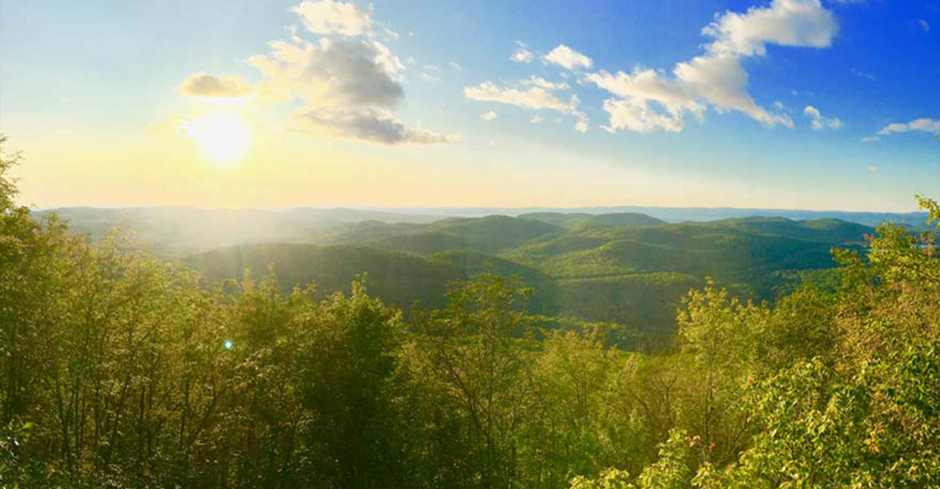
I’m certain there are a number of people who have had “The King” on their Algoma bucket list and believe me, there has never been a better time for a rip to the tallest peak our region has to offer. Originally part of Ontario’s first Forest Fire Detection Network, the King now stands in all of its royalty as THE premiere view to see in Algoma.
Right now, the bugs are few and far between, the temperature has been just perfect of late and last but not least, so much of the trail has been groomed for ‘Crank the Shield’ a mountain bike stage race!
I have personally witnessed the race director himself out on trail weed whacking to have these trails perfectly manicured for what is sure to be an epic stretch of trail in the middle of this three-day race. Day two will take riders up to the top of King Mountain as they descend to find their way out to Searchmont Resort by day’s end. Get out and support the cause if you can, this is a fantastic event that showcases the best trail our region has to offer.
The benefit we can all reap from the trail grooming is some of the clearest pathways I’ve ever seen heading to the top of the King. Usually, at this point in the summer, the long grass has overgrown and it is a real pain to navigate on your way up. This may be why most people wait until the fall for their hikes to the top but right now? The trail is perfect.
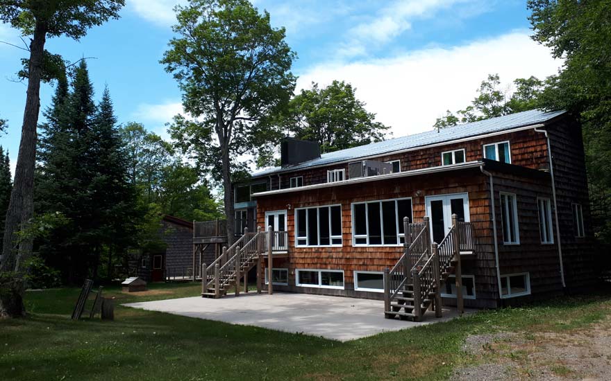
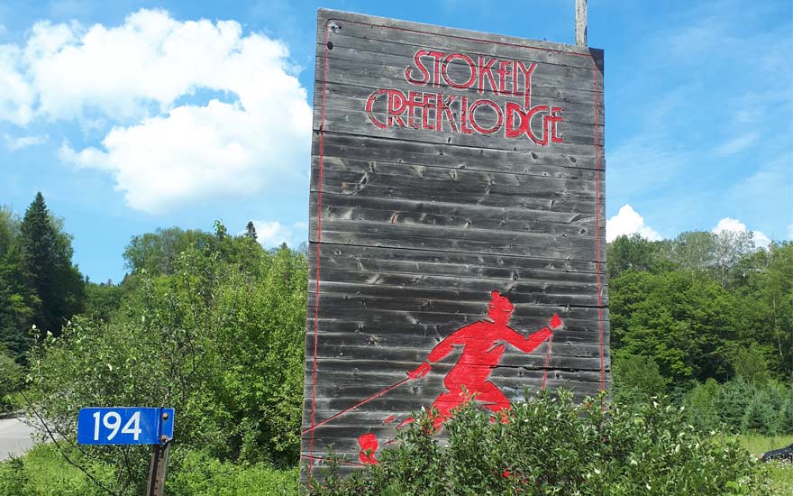
I live just around the corner from Stokely Creek Lodge so it’s a short run for me to get to the parking lot where your journey will begin. In total, if you take my route you are looking at a 12 km out-and-back run/hike/bike that is truly worth the effort to get up there.
Coming from Sault Ste. Marie, head north on Great Northern Road for about 30 minutes until you see the signage for Old Highway 17. Take the right-hand turn there and continue until you see the entrance to Stokely Creek. Park your vehicle in the lot and be sure to bring some water, food, and toilet paper just in case, and follow the main path just beyond the gate to the main lodge.
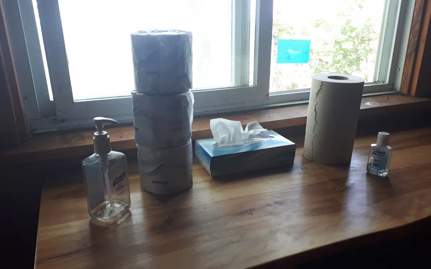
On a recent run, as I approached the lodge, I realized I had forgotten toilet paper and there was about to be a “situation.” With hope and a prayer, I pulled on the main lodge front entrance and to my utter shock, IT WAS OPEN. A very kind woman was at the front desk and allowed me to use the main lodge facilities to avert sheer disaster only 2 km into my run. Whew…I can’t comment on summer hours for the lodge but as far as I know, this is not normal for them to be open. I believe it was because there was trail maintenance happening for another local event. You should plan on not having access to a washroom until you summit King Mountain where there is an absolutely glorious outhouse, which 95% of the time is well stocked with toilet paper and hand sanitizer. At times this can be like an oasis in a desert for the long-distance runner — like finding oxygen on Mars, really. Thank you Stokely for always forecasting demand with the facilities.
Anyway…
The Trail Begins
Pass the main lodge and if you are interested in getting a quick picture of one of the most beautiful waterfalls in Algoma, take the path to the right with the wooden staircase. The falls are only about 200 meters from the back of the lodge. Again, well worth the detour before or after your summit.
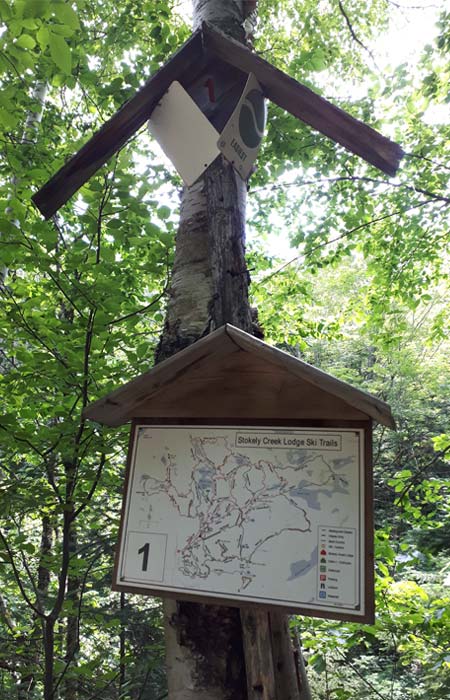
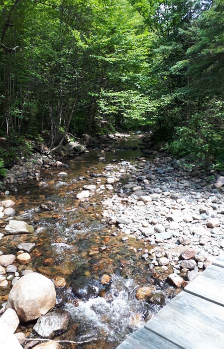
Get back to the main path and keep going. You won’t have any options to stray from my prescribed path until you reach post marker #1. Go right at Eva’s Way or left to Upper Stokely — this is totally up to you as you will end up at the same spot, but my preference is to stay right and run along the creek. I love the serenity of that stretch of path where all you hear is your breath, footsteps, heartbeat and the soothing sounds of the creek.
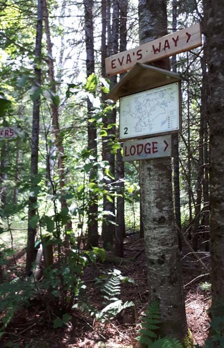
Just after you pass the bridge you will find your next post marker #2. Make sure you stay and keep right at the T. If you go left, you will be heading in the wrong direction. As you round the corner, (having turned right) you will start to understand what will be in store for you over the next 5-ish kilometres. HILLS, HILLS and then some more HILLS. You don’t get to the top of Algoma’s tallest peak by elevator folks. It will require some blood, sweat and tears. This is just the start of the hills, but again, I guarantee it is worth it when you get to the top.
The next step could be a little confusing but thank goodness Stokely has the best trail markers. When you arrive at post marker #59 there are three options – left, straight or right. Stay on the straight path. Make sure you look at the map and ensure you will be heading up the path to post marker #60 as your next destination. Making a right or a left here will completely derail your trip. The easiest way to know which way to go here? Which of the three options looks the hardest?
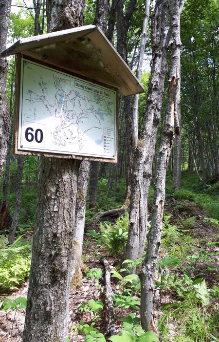
Go that way. Straight.
On your way up to post marker #60, you will see an outhouse on your right-hand side. Unfortunately, this has been boarded up with impeding repairs planned for the fall. This will not be a bathroom option for you. If the door happens to be open, you will see why. That’s all I will say about that. Hold it if you can, knowing the pristine glory of King Outhouse is getting closer with each step.
When you reach post marker #60 you will again be at a T. Left or right are your options. Be sure to turn left here on your way to post marker #61. This marks the beginning of what I have dubbed the “Hateful 8” hill section of my run. If you are running this and thought the worst was over, you are way off. Way, way off. My dog went up with me for the first time three weeks ago and I believe this next stretch of hills is what knocked him out of commission for the next two days. He could barely find the energy to get up and eat he was so beaten by this next stretch. Not you though. You got this!! Almost there.

Almost There
At post marker #61, this will be the last direction I need to impart as you are in the home stretch. Turn left at #61. Also, a giant sign that says “Trail to Lookout” should give you some idea you are on the right path.
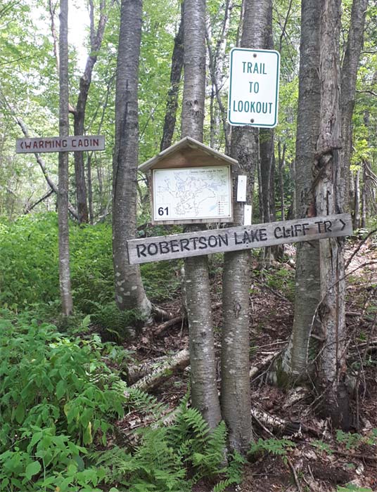
Okay, so the next four hills are the worst. I’m not going to sugarcoat it. There are some flat spots in between though. This gives you a bit of a breather before each of them. I promise the view is worth it.
The Premiere View
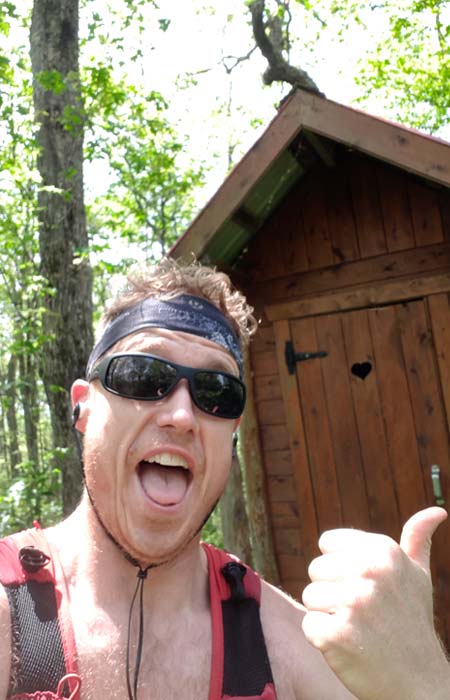
As you start to see the trees clear at the top of your fourth hill, there is just a bit of an incline to get to the peak and you will see that vision of an outhouse on your left, along with the warming cabin just past it. As you roll into a much-welcomed downhill you can approach the King Mountain viewing platform for one of my personal favourite views in all of Algoma. Sweeping vistas of our rolling hills, Lake Superior and the vast network of untouched lakes on the Stokely Trail system flood your senses and unplug you from society, even if just for a moment…when you reach for your phone to take a selfie and or panoramic. Before that though, please take five minutes just to breathe it all in. It can be a soul-refreshing escape.
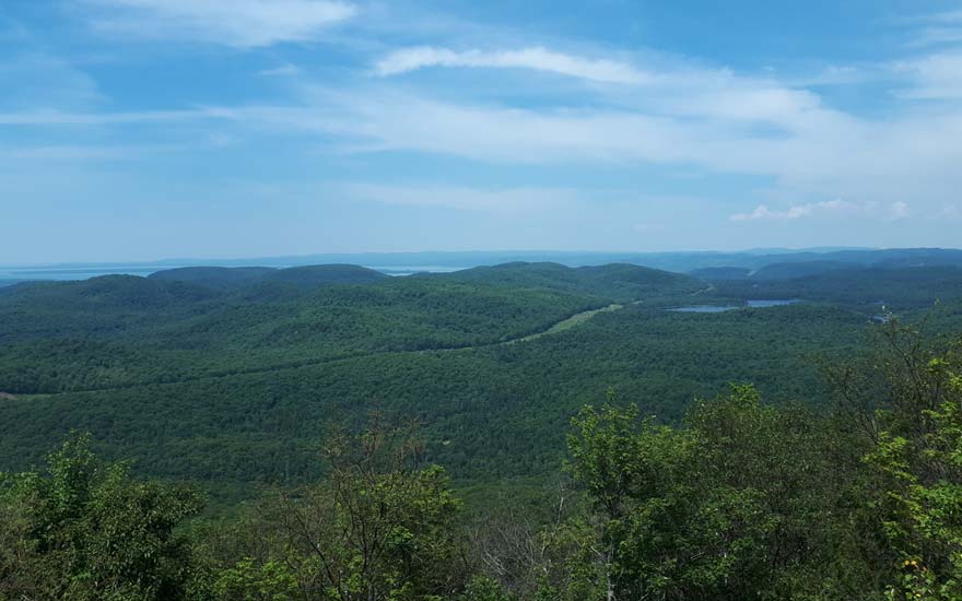
I can’t believe we live here. So much beauty to see.
As always, thanks for coming along.
Oh, by the way, if you are not feeling up to it? I’ve done the entire route for you in 10 minutes right here.
Have a peek at the King and my Summer Updates below:
Any questions? As always, hit me up here:
Read more of Nick’s articles:
www.northernontario.travel/algoma-country/i-run-algoma-trail-running-in-northern-ontario
www.northernontario.travel/algoma-country/i-run-algoma-five-non-road-trails-to-run
Instagram @bearinmindrunning
Race blogs and some other fun stuff can be found here: bearinmindrunning.blogspot.ca
Related Posts

Hikes on the Voyager Trail
Hiking trails are plentiful in Algoma. Trails may be in a provincial park,...
Read More
River Paddling Adventures
With direct access to Lake Superior, Lake Huron, and some of the most...
Read More
A 5 Day Fall Road Trip
Fall is the perfect time to explore Algoma Country, located from the North...
Read More